Enterprise Drone Services
Turning Airspace
into Opportunity
Transforming
Traditional
Industries.
Aeronext is India’s leading compliance-first Drones-as-a-Service company focused on using drone technology to transform traditional industries such as aerial advertising, high-rise facade/solar farm cleaning, and project mapping.
Solutions that
elevate every mission.
Advanced drone technology built for precision, safety, and impact across industries.
Advertising
Drones and high quality LED screens.
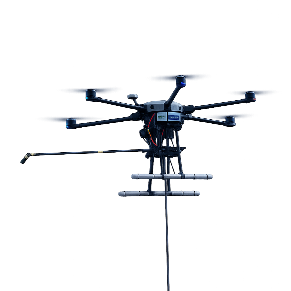
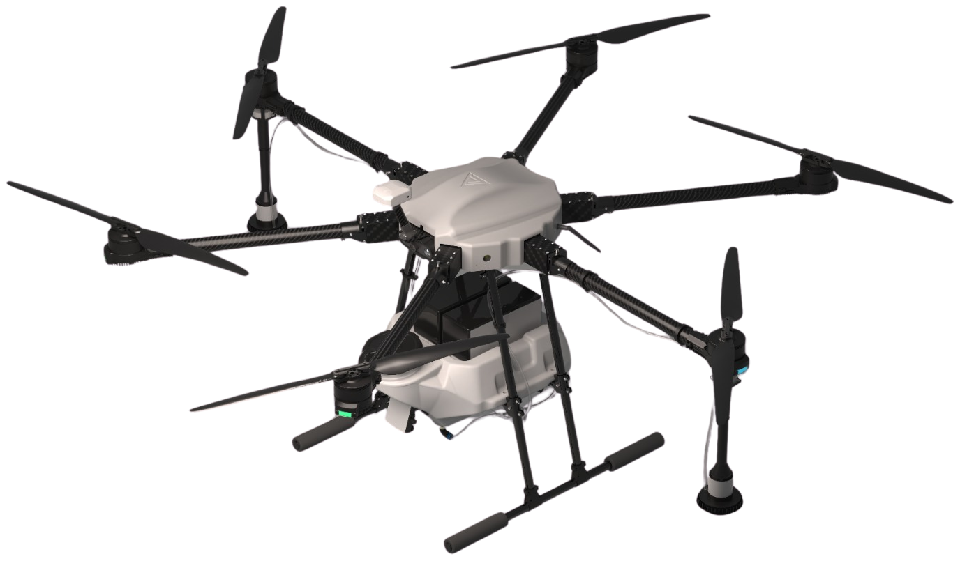
Cleaning
Drone tethered high-pressure washing.
Project Mapping
Ranged drone live feed and analysis.
Pollution Mitigation
Elevated mist dispersal with drones.
Videography
Aerial videography for commercial usage.
Built for precision.
Driven by compliance.
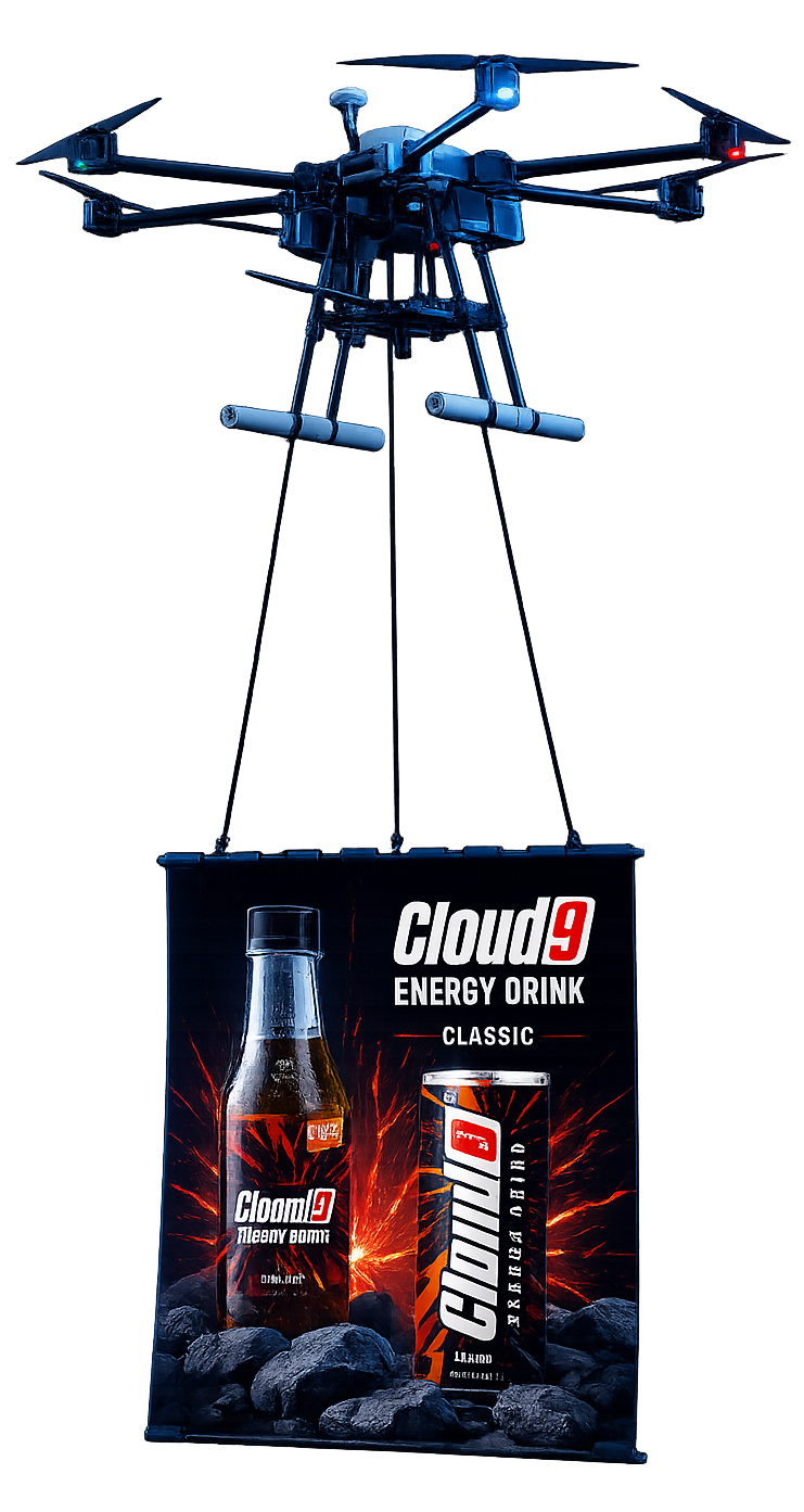
AERIALADVERTISING
Command attention like never before with drones and high-quality LED screens which showcase your brand in high-traffic urban areas.
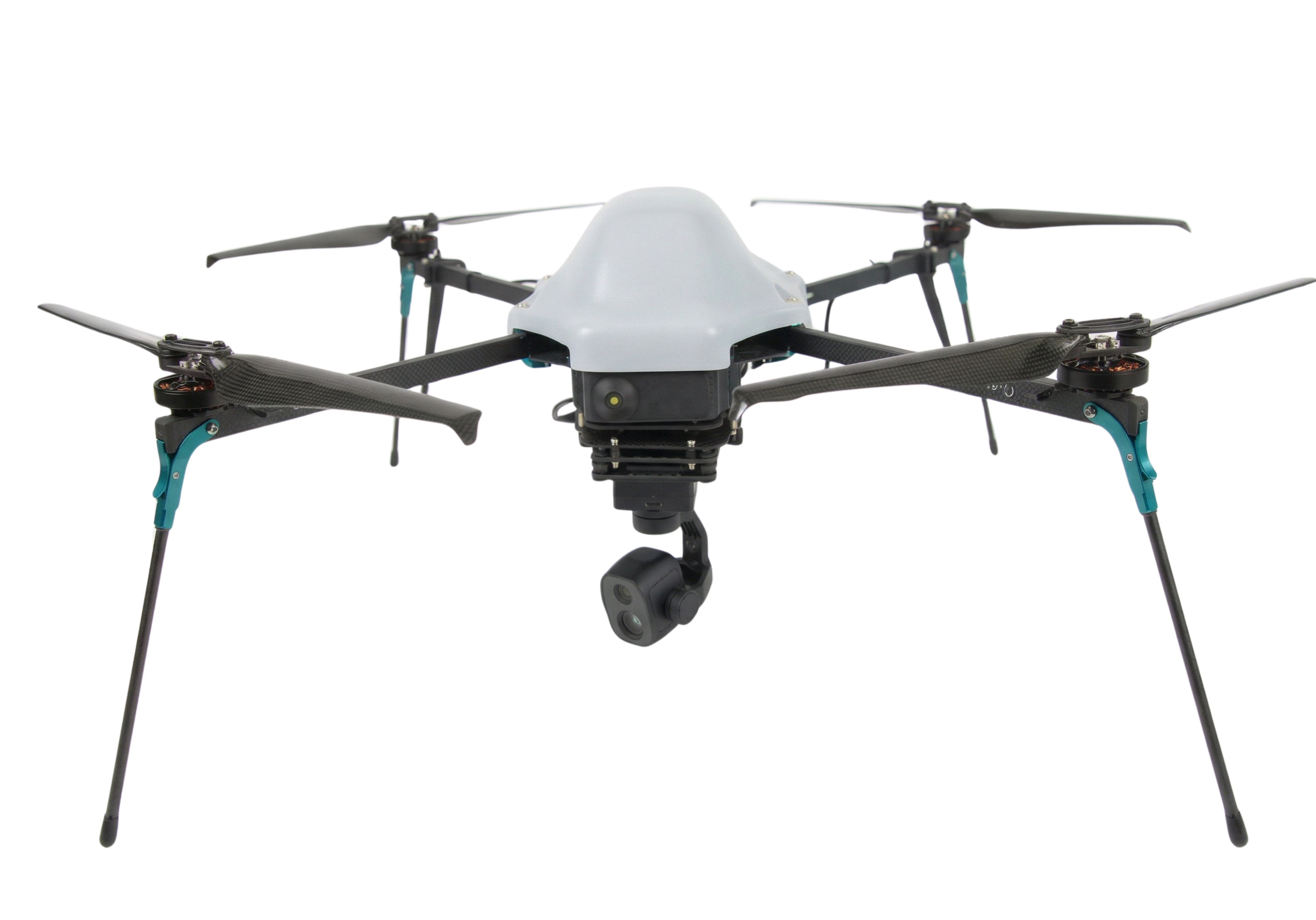
50 KM
RANGE
THERMAL
PAYLOAD
RTK GPS
PRECISION
IP67
RUGGED
Hardware Supply
Enterprise-grade drones and payloads, ready for deployment.
Annual Maintenance
Comprehensive AMC packages to keep you mission-ready.
Pilot Training
Certified training programs for your teams.
Custom Integration
Tailored solutions, seamlessly integrated into your operations.
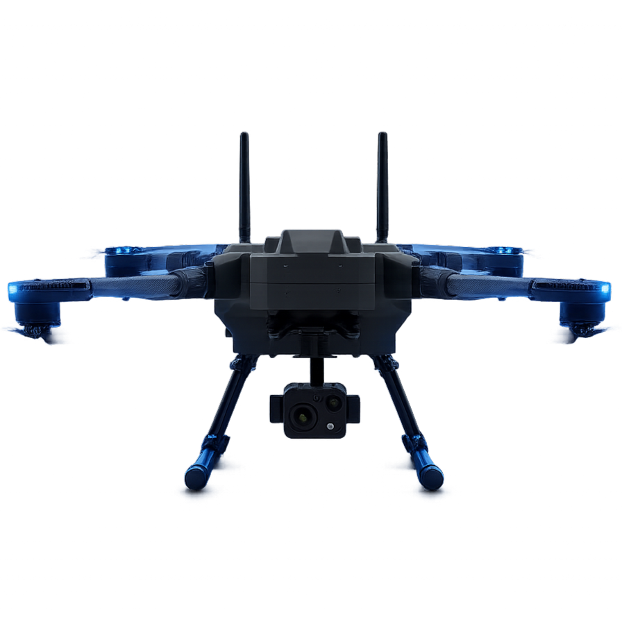
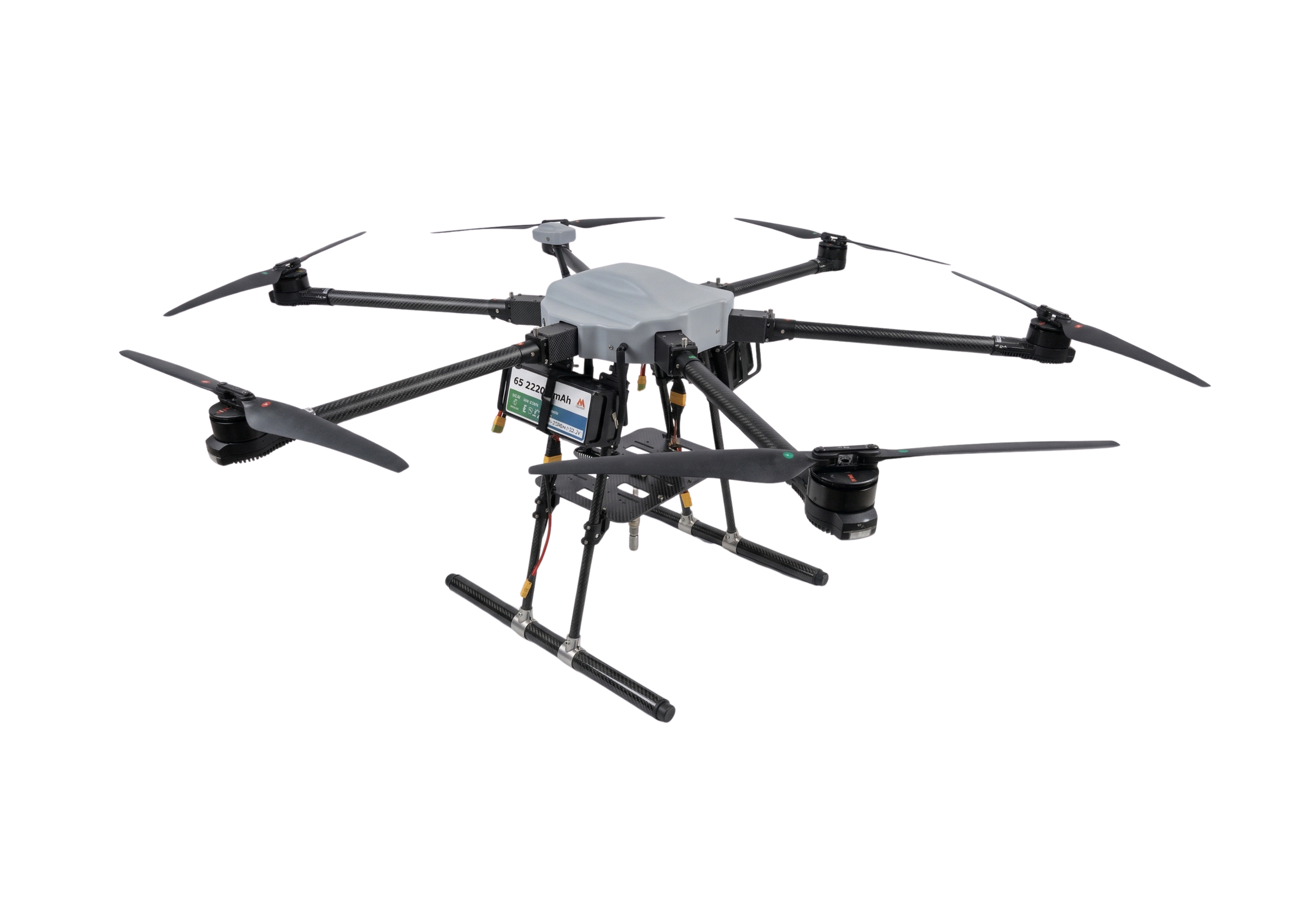
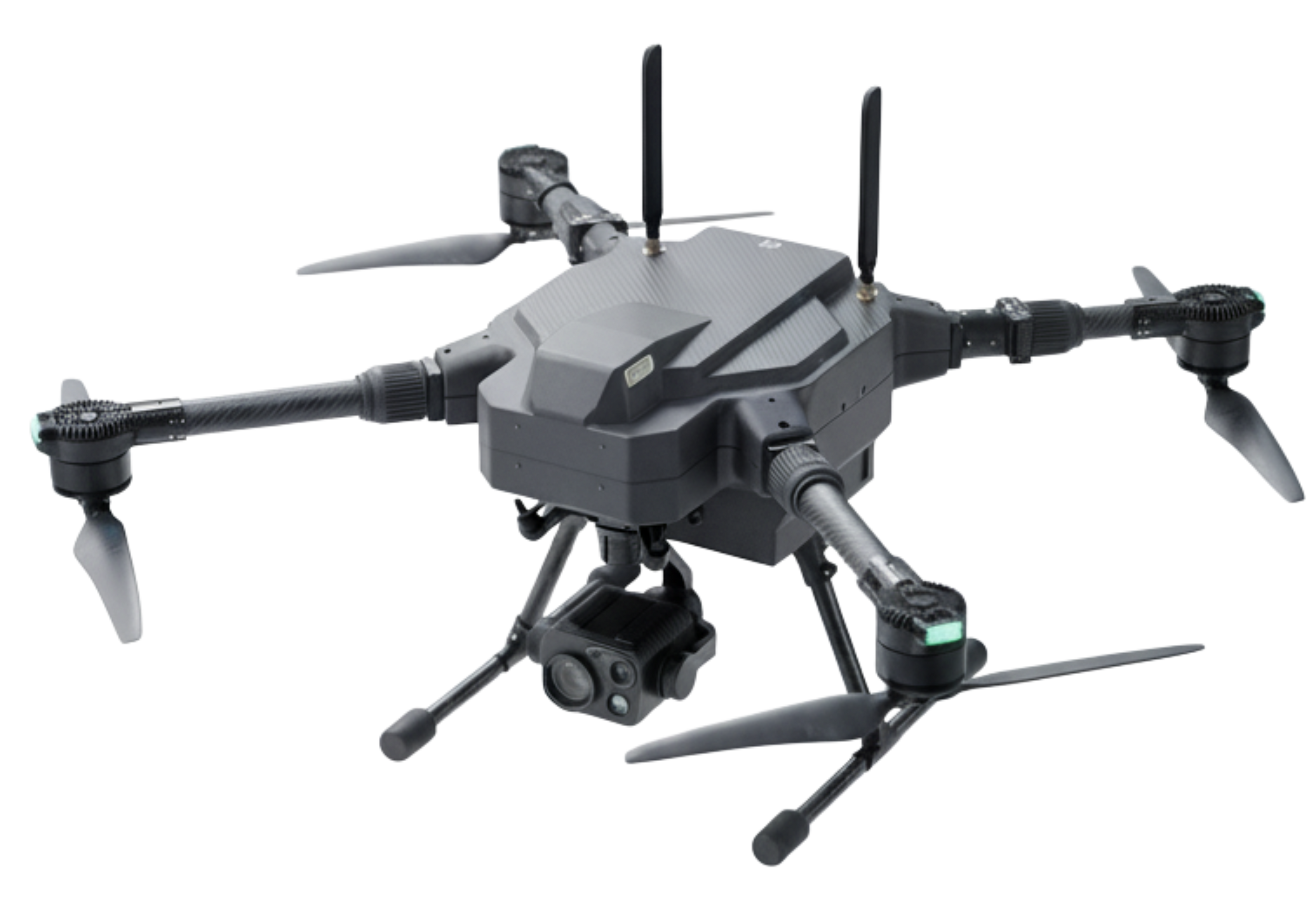
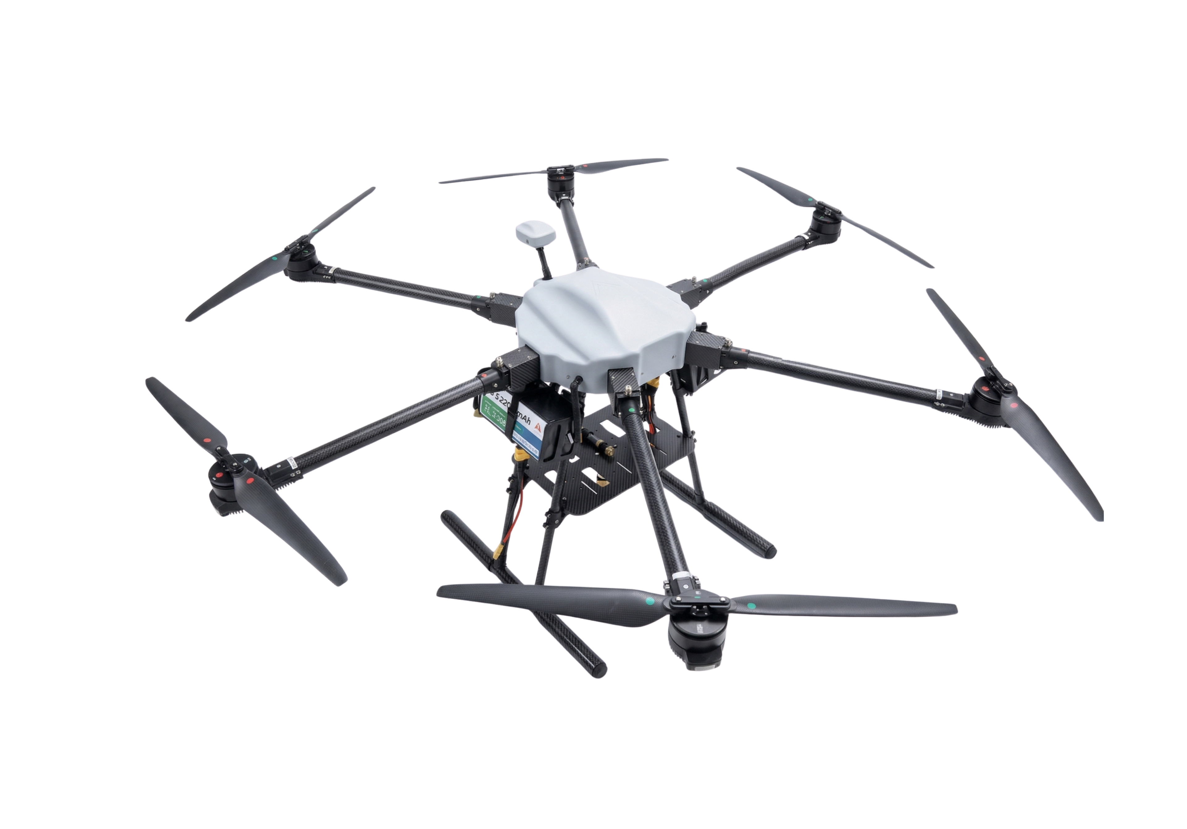
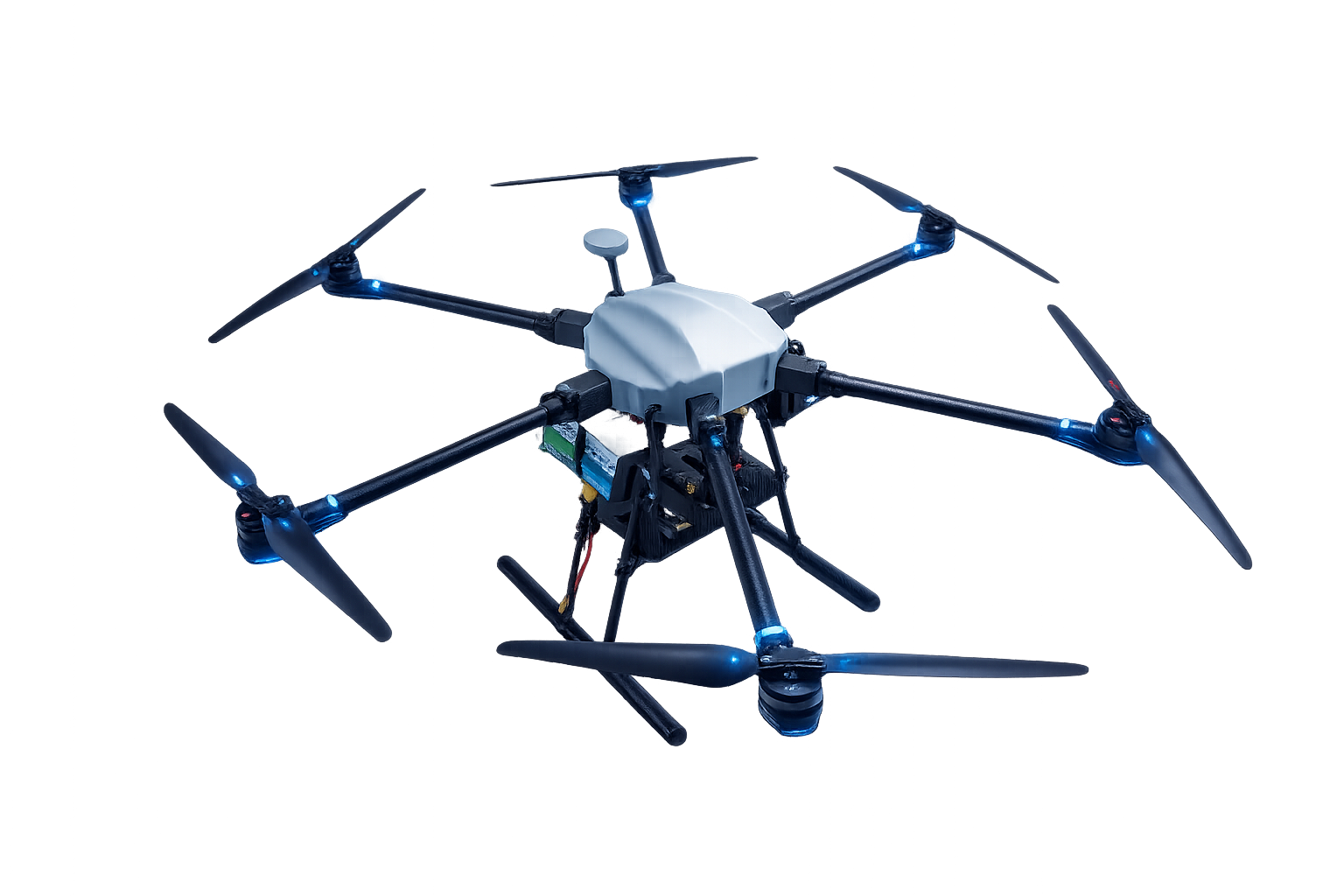
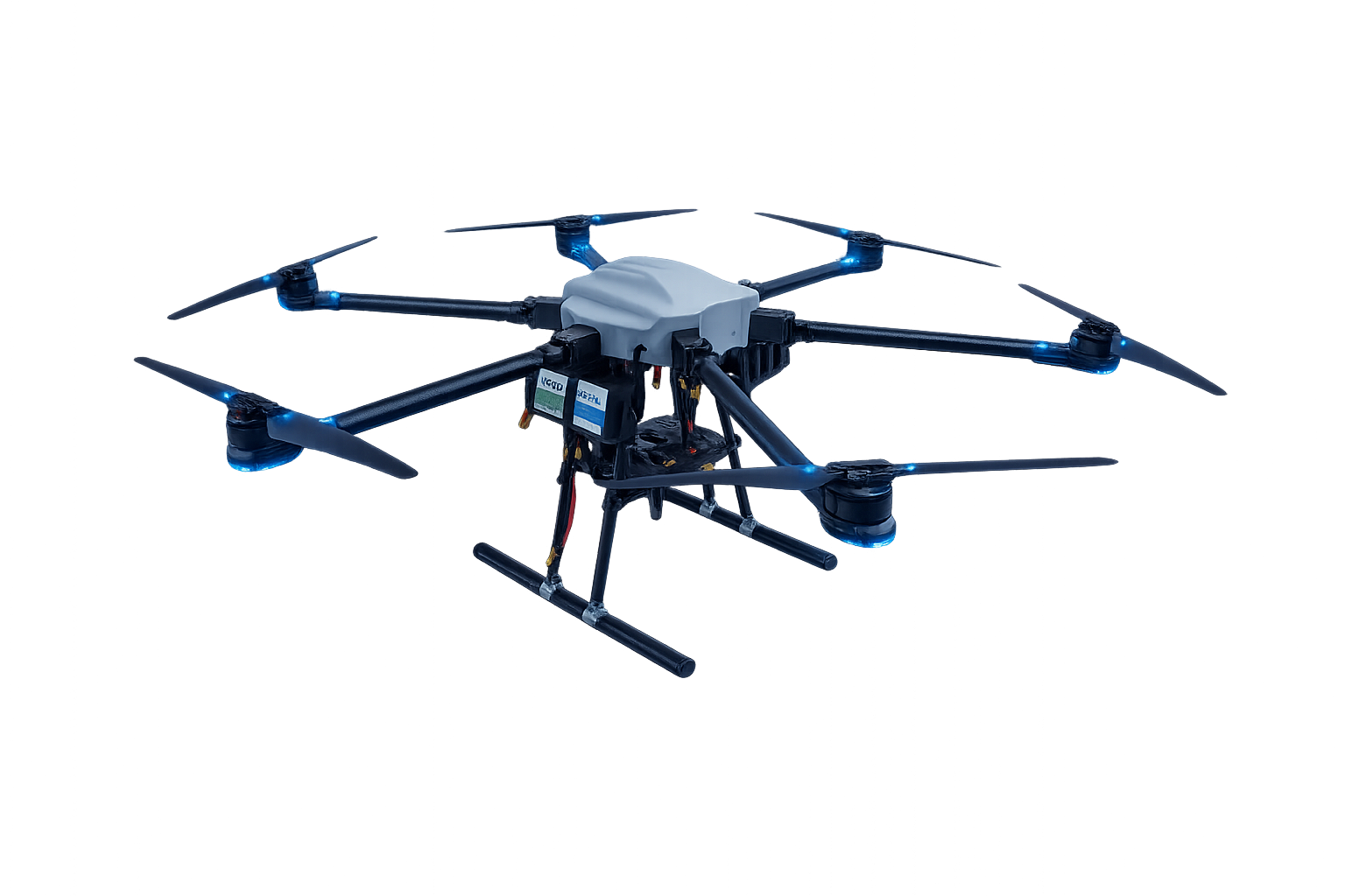
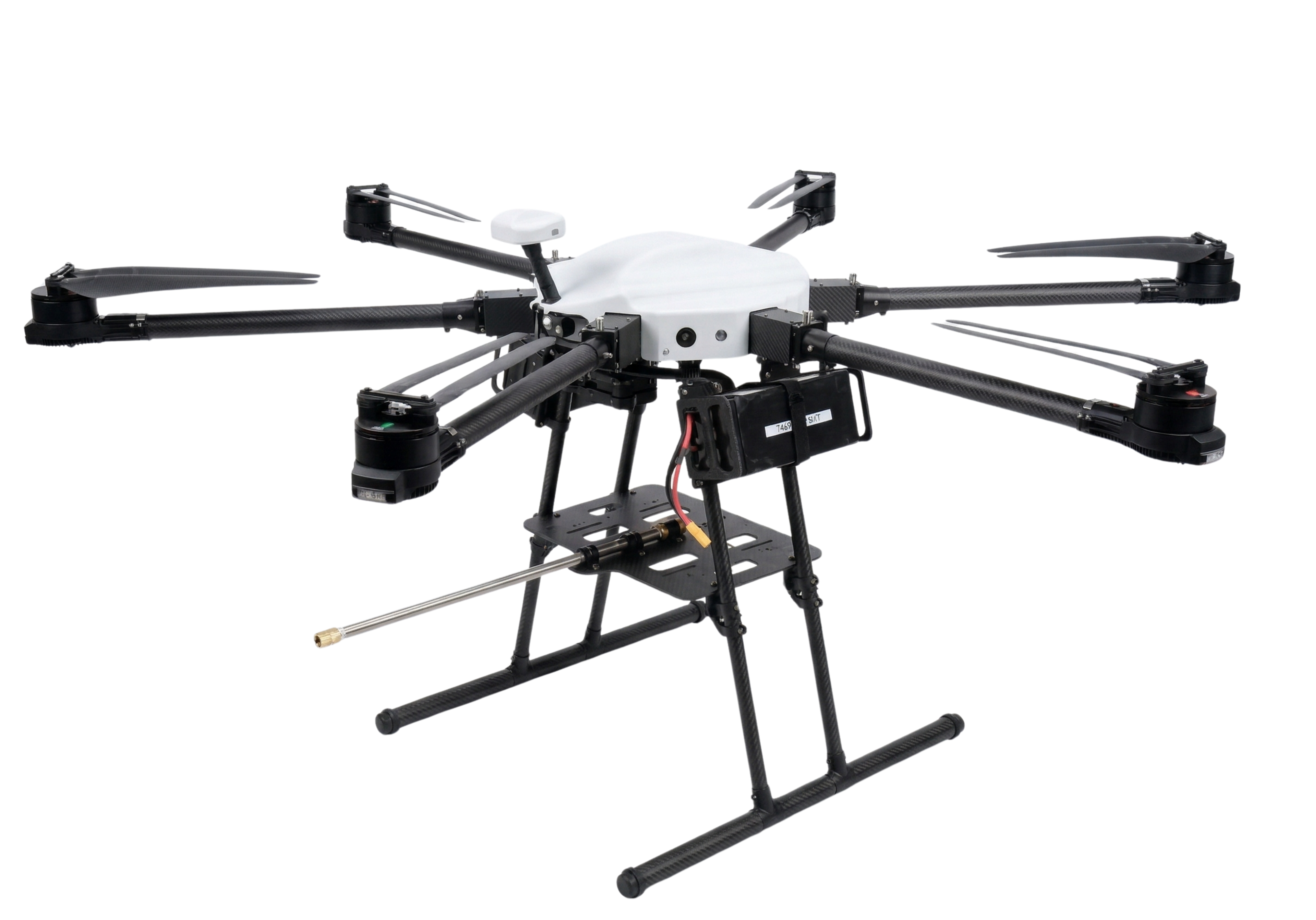
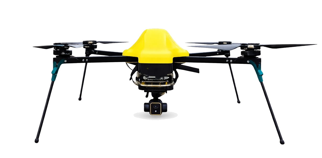
A drone for every mission
From precision mapping to autonomous security — each aircraft shares the same intelligence core.
Questions, answered
Everything you need to know about Aeronext's drone systems, autonomy and enterprise deployment.
Aeronext is a drone services company that revamps how industries operate by deploying purpose-built drone technology. We offer both managed services and drone-based products designed to replace outdated, ground-level approaches with faster, smarter, aerial alternatives.